Naeus Explore app maps the Ipswich experience
A newly developed app is making it easier to locate and explore some of the Ipswich region’s many walking tracks.
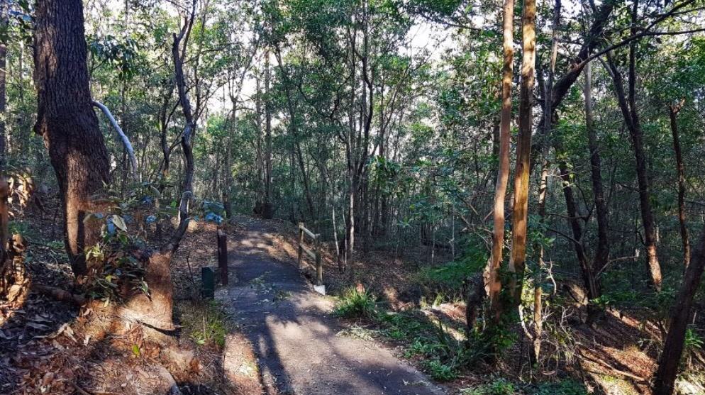
Called Naeus Explore, the app includes GPS guided maps of walking tracks through natural bushland areas, with a special flora-identification feature about to be added. The app covers White Rock Estate, Denmark Hill Conservation Reserve, Flinders-Goolman Conservation Estate, Castle Hill Blackstone Reserve, Haig Street Quarry Conservation Reserve, Purga Nature Reserve and Kholo Gardens.
Its launch was a collaboration between developers Tim and Jeremy Butler whose idea won the first joint hackathon between Ipswich City Council and the Fire Station 101 innovation hub earlier this year.
Naeus Explore is designed to encourage more people to discover Ipswich’s natural areas. The GPS guided maps include distance and grading information and details of each area’s history and ecosystems.
More areas will be added to the seven already featured on the app and by year’s end it will also include native plant identification through image-recognition technology.

Ipswich locals, brothers Tim and Jeremy used their backgrounds in IT and their local knowledge to develop the idea.
Tim said he would see native plants in his garden, or on walks, that he didn’t recognise and wanted an app that could help.
“The technology is at the right time. With machine learning, you can essentially train a system to recognise any photo-based object,” he said.
“Our thought was to do it for Australian natives, since they are such an untouched side of things. And still, we haven’t seen any product yet that does that.”
Download the app here.
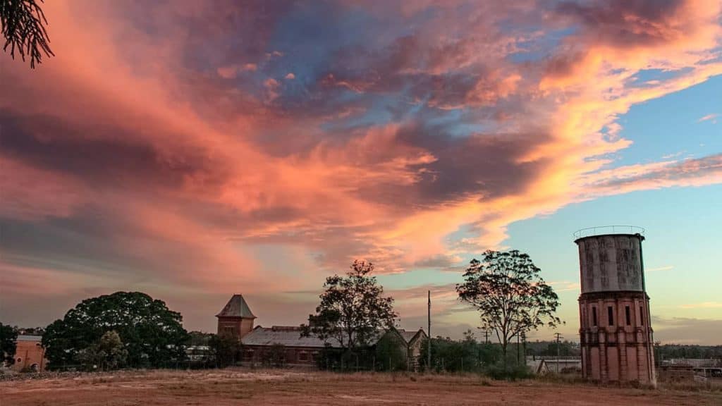
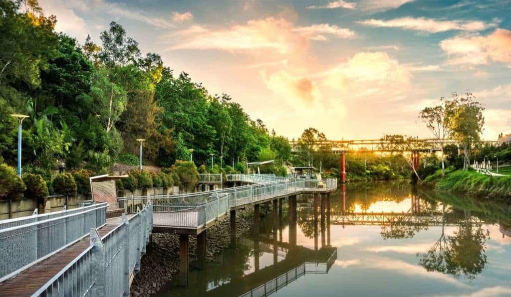
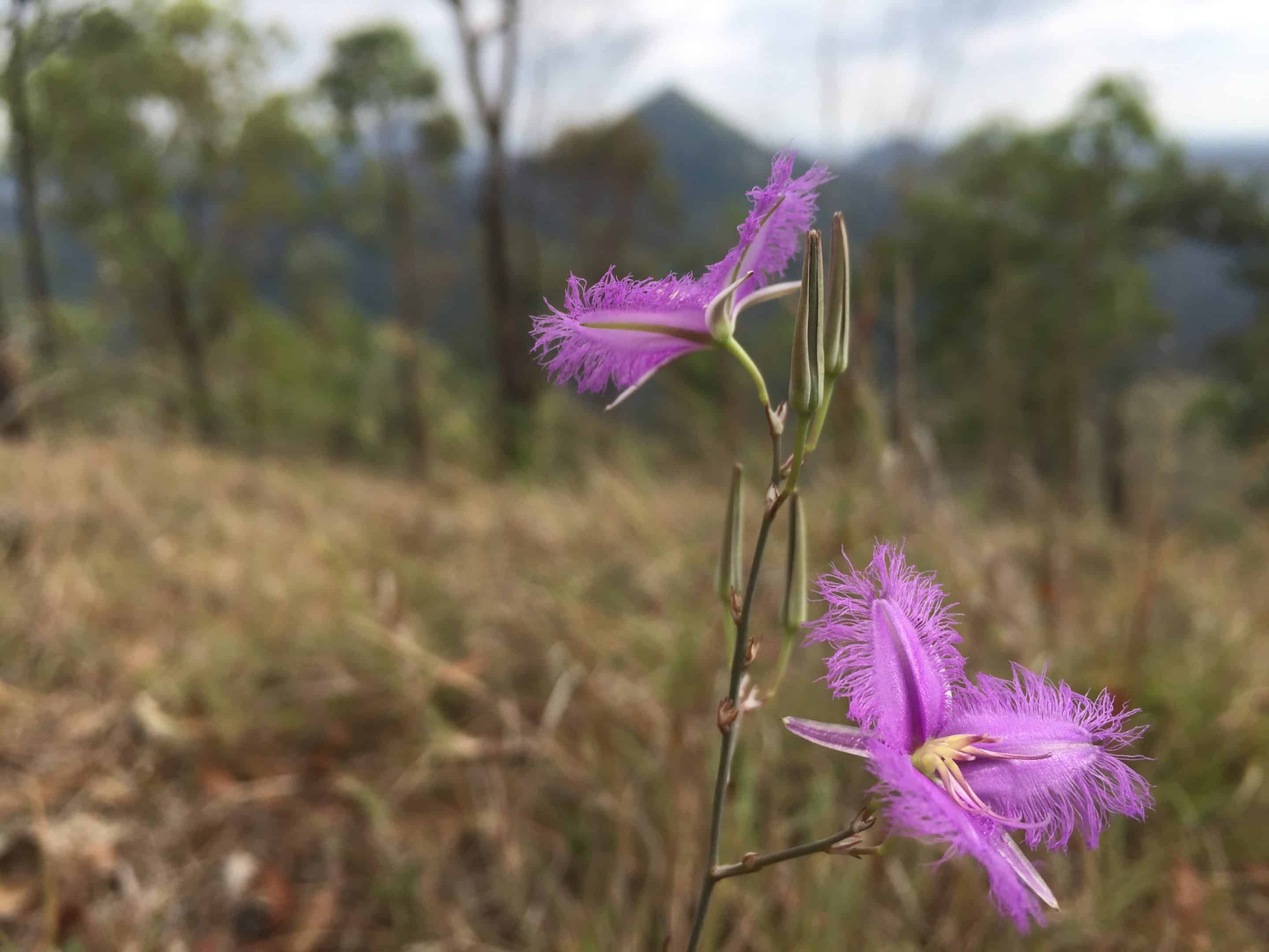
Photos, from top: Denmark Hill Conservation Reserve, Fringe Lillies on the Flinders Peak hike, the view from Haig St, Quarry.

